The Case for Gravel Riding near London
The city’s reputation for gravel is undersold. Most riders default to the road classics – Box Hill or Windsor – and never venture onto the bridleway networks that run alongside and beneath them. Get onto those tracks and the riding changes completely: quieter, more technical, more varied, and often more scenic than the tarmac alternative.
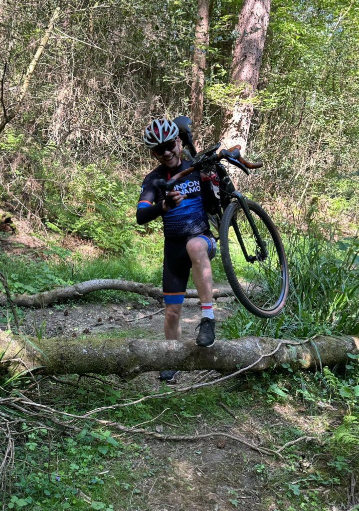
The Surrey Hills and North Downs hold the most obvious gravel terrain – chalk ridge bridleways, woodland singletrack and forest estate tracks that have been ridden for centuries. But Lee Valley and Epping Forest to the north-east offer a genuinely different kind of day out: flatter, more open, with river-path navigation and ancient woodland in equal measure. Both are within an easy ride of central London.
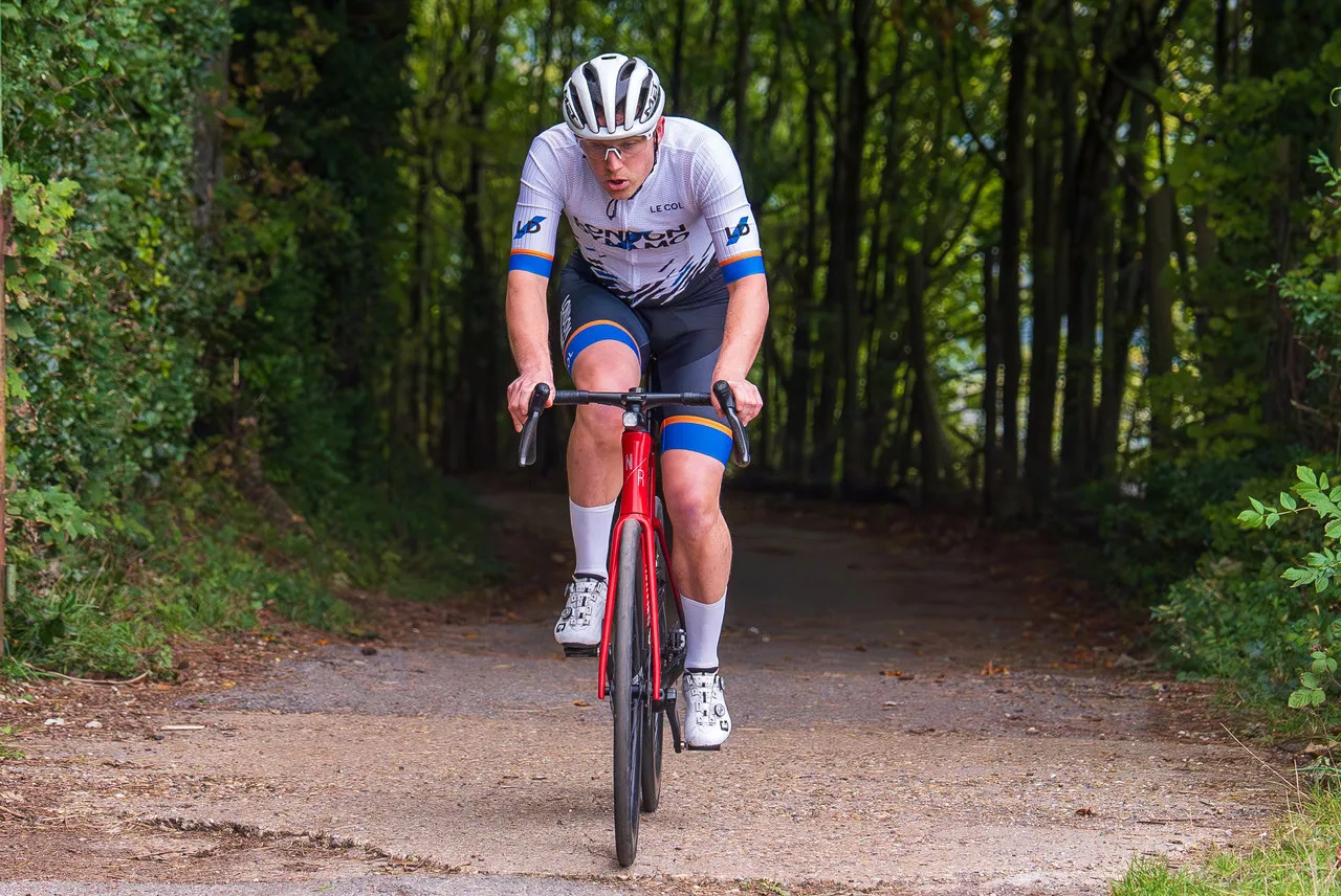
The routes below are all in the London Dynamo Route Book, built and tested by club members. They are mapped on mixed surfaces – some tarmac for linking sections, but always with significant off-road mileage that justifies the gravel bike. GPS files are available to download for all of them.
The Routes
Grouped below by distance. All GPS files are available in the London Dynamo Route Book.
| Route | Distance | Elevation | Terrain & character |
|---|---|---|---|
| Up to 65km | |||
| The Dirty Belgie Gravel Loop | 52.4km | 373m | The shortest route in the book and a solid hour-and-a-half of mixed riding. Starts in Richmond Park, crosses Wimbledon Common, then pushes south-west into the woods between Chessington and Oxshott. Enough tarmac to keep momentum, enough dirt and woodland track to make it feel like a proper gravel ride rather than a road loop with a grassy detour. |
| Box Hill Gravel Loop | 62.7km | 760m | The classic destination via a less classic line. The anti-clockwise approach through the woods adds significant climbing compared to the road route and puts you on tracks that most riders heading for the summit never see. The 760m of elevation in 62km keeps it honest. |
| Reigate Hill Gravel Loop | 64.9km | 603m | A clockwise circuit taking in Reigate Hill before swinging south of Box Hill on the return. More varied terrain than the Box Hill loop with some technical bridleway sections on the descent from Reigate Hill. A good option when you want more surface variety without committing to a longer day. |
| 70km to 95km | |||
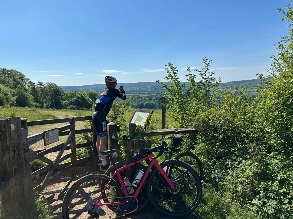
| Guildford Gravel Loop | 72.2km | 427m | Deceptive. The first 35km are flat and fast, which lulls you before the climb past Chantry Wood to the top of St. Martha’s Hill. The hill itself is steep and loose on gravel – a good test of low-gear traction. The views from the top are worth it. |
| Surrey Trails & Hills Gravel | 78.4km | 1,152m | The hardest route in the mid-distance group by some margin. Ranmore Common, White Downs and Effingham Forest involve sustained off-road climbing on surfaces that punish the wrong tyre choice. Worth being well into the ride season before committing to this one. |
| Lee Valley & Epping Forest Gravel | 87.3km | 459m | The outlier in the route book – north rather than south, and flat rather than hilly. Out through Lee Valley past Walthamstow Wetlands, Waltham Abbey and the River Lee Navigation canal towpath, then back through Epping Forest on forest tracks. The low elevation makes it recoverable mid-week. |
| Effingham Forest Gravel Circuit | 92.1km | 893m | Focuses on the western Surrey Hills – territory the Box Hill-centric routes leave largely unexplored. The climb to Netley Heath and Effingham Forest is steep and the tracks at the top are among the more technical in the route book. Quieter than the central Surrey corridors, with fewer riders and more interesting surface choices. |
| 110km and above | |||
| Frensham Ponds Gravel Edition | 114.2km | 1,050m | Takes the familiar Frensham Pond road loop and shifts it onto off-road tracks, particularly through the Surrey Hills section where it favours heathland and common land over tarmac. Frensham Common itself is proper open heathland riding – wide, sandy and exposed. The south-western corner of Surrey sees very few London club riders. |
| Chartwell Gravel Loop | 120km | 1,809m | From Hampton Court Palace, south-east into Surrey and across into Kent, descending off the north ridge of the North Downs to Chartwell – Churchill’s family home. Then through the woods of Toys Hill before the long return north. The 1,809m on a 120km route means you are climbing almost continuously. The Kent chalk tracks can be slippery in wet conditions. |
| The Henry VIII Gravel Loop | 139.4km | 2,077m | Extends the Chartwell loop further south to Hever Castle and Chiddingstone village before finishing with the steep climb up Yorks Hill. At 2,077m over 139km this is a full-commitment day – arrive well-fuelled and with bags loaded for self-sufficiency. The historical detour through Hever and Chiddingstone is worth the extra distance on its own. |
A Few Notes on Setup For These Routes
Tyres
Most of the routes in the under-90km bracket are manageable on a 38-40mm semi-slick. For the Surrey Trails & Hills route, the Chartwell loop and the Henry VIII, a more aggressive tread becomes worthwhile – particularly in autumn and winter when the chalk sections hold moisture and the woodland tracks get cut up. Tubeless is worth the setup time on anything over 80km; the ability to run 30-35psi on rough sections and seal minor punctures without stopping makes a real difference on a long day. Read about tubeless tyre setup here.
Navigation
These routes use bridleways and byways that do not always follow obvious lines on the ground. A head unit with the route pre-loaded is not optional on the longer rides – phone signal disappears sometimes on the Surrey Hills ridge and in Epping Forest. Download the GPS file before you leave.
Food and water
The routes above 90km have limited reliable cafe stops built in – the Frensham Ponds, Chartwell and Henry VIII loops in particular pass through sections of south-western Surrey and Kent where you should not count on being able to resupply. Carry what you need from the start. A frame bag or top tube bag alongside a loaded saddlebag is enough for a full day if packed sensibly.
No Time to Leave London? Try the Tamsin Trail in Richmond Park
Not every ride needs to head out of the city. If you have an hour and a gravel bike, Richmond Park has its own off-road loop worth knowing about. The Tamsin Trail runs around the very edge of the park on a mix of gravel, dirt and compacted track – 11.8km of signposted path that is, by most accounts, the only dedicated off-road cycling trail in London.
The surface is proper gravel bike territory: crunchy and shaded by oak and birch, with genuine climbing on Broomfield Hill and Dark Hill. Riding clockwise adds a short, sharp ramp up from Ham Gate. Pedestrians have priority throughout and the park imposes a speed limit, so this is not a training loop in the conventional sense – but go early morning or at dusk when the trail is quiet and it becomes something else entirely. Sections near the gates get busy during the day; push further around and there are long stretches where you can be the only person in sight.
As a warm-up before heading south into Surrey, a shake-out between longer efforts, or a standalone ride when the calendar is tight, the Tamsin Trail earns its place.
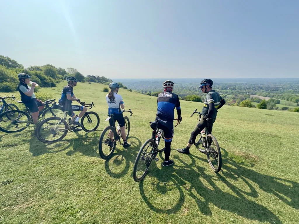
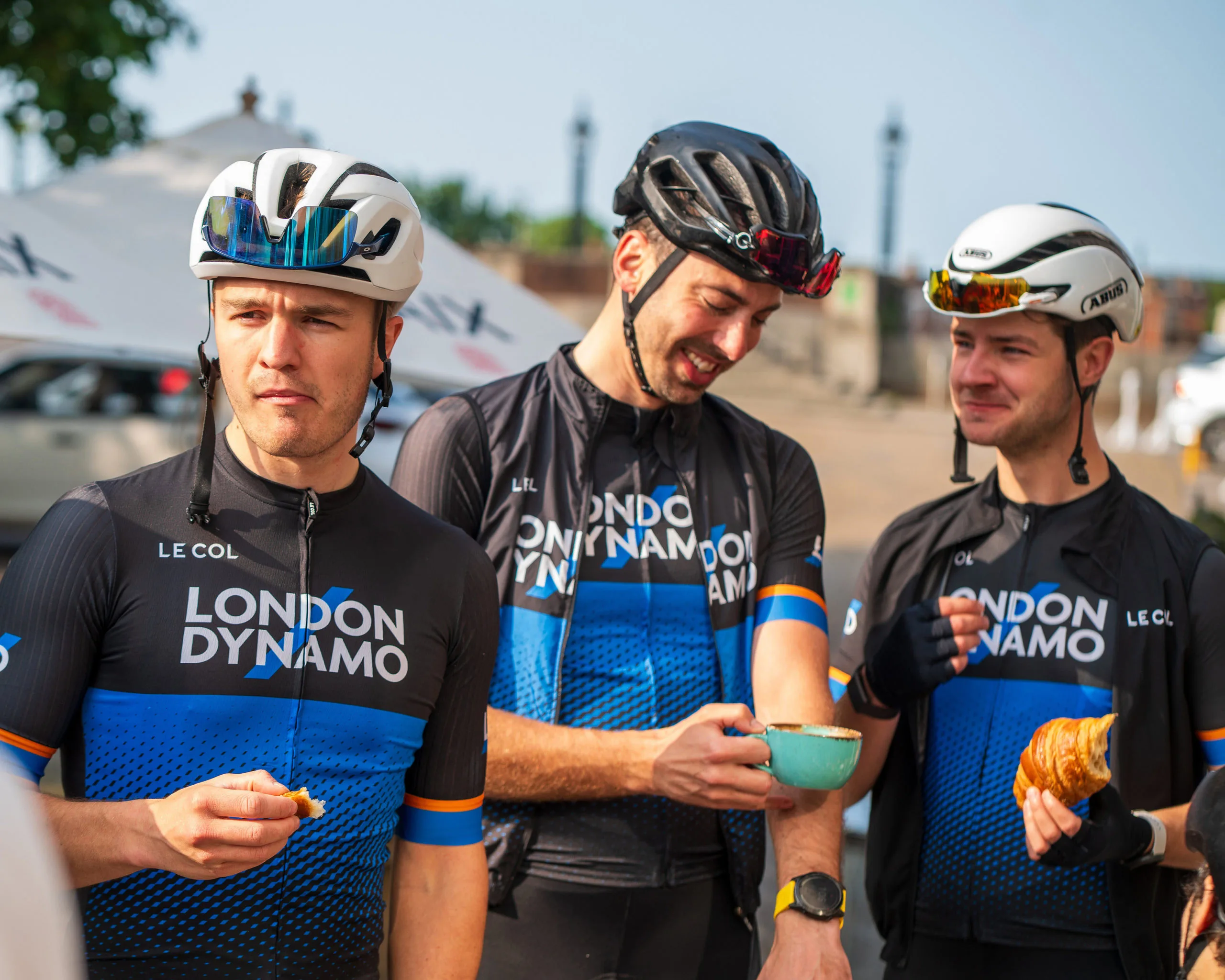
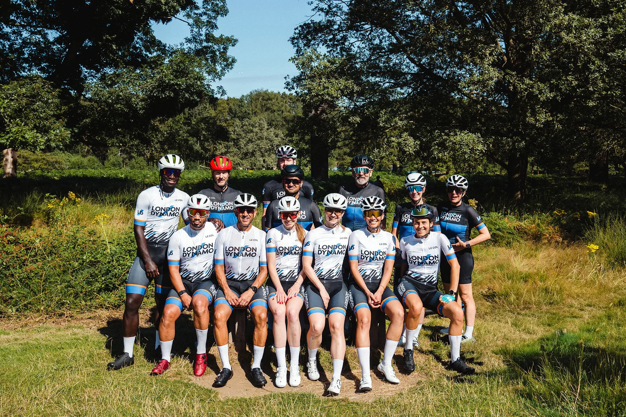
Ride these routes with London Dynamo
London Dynamo runs gravel group rides throughout the year across all distance ranges. See the London Dynamo gravel page for the current calendar and how to join a ride.
All route GPS files – along with the full road, time trial and track route book – are available at londondynamo.co.uk/route-book.
Not yet a member? Join London Dynamo and get access to the full route book, group rides, coaching, and one of London’s largest cycling communities.